Bardiya is one of the 77 districts of Nepal. Geographically, It lies in the western Terai region of Nepal. Politically, this district is located under the former Bheri Zone of the Madhya Pashchimachal development area and is currently under the Lumbini Province.
Bardiya District Profile
Bardiya district is also known as New Nepal. Bardia district is spread over Plain Terai land. So, This district is also known as a storehouse of grain as it has fertile land. The total area of Bardia is 2025 square kilometers (782 sq mi). Out of that, more than two-thirds of the land (68.76 percent) is occupied by the plain land of Terai, while the remaining part (31.24 percent) belongs to Chure Hills.
Banke district lies on the eastern border of Bardia district and Kailali district is on the western border. Similarly, Surkhet and Salyan are in the north of this district and Bahraich district of Uttar Pradesh, India is in the south.
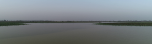
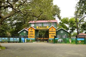
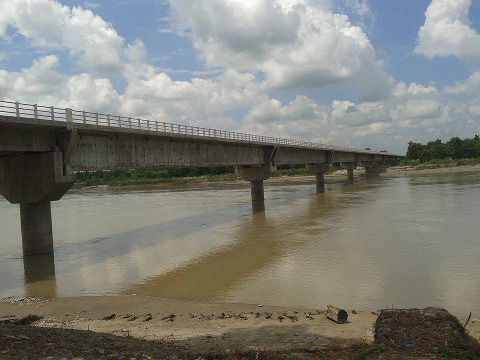
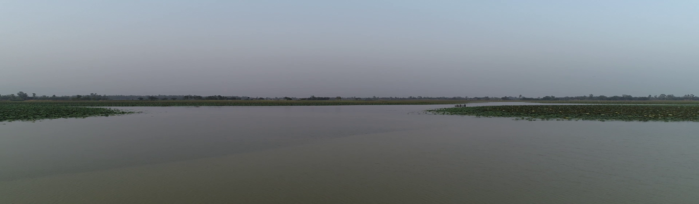
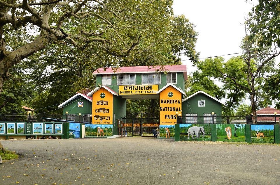
Bardiya National Park, which occupies the largest part of the forest in the Terai region, falls in this district. Bardiya is a mine of natural, cultural, religious, and artistic diversity. Karnali, Babai, and Manekhola are the main rivers of this district.
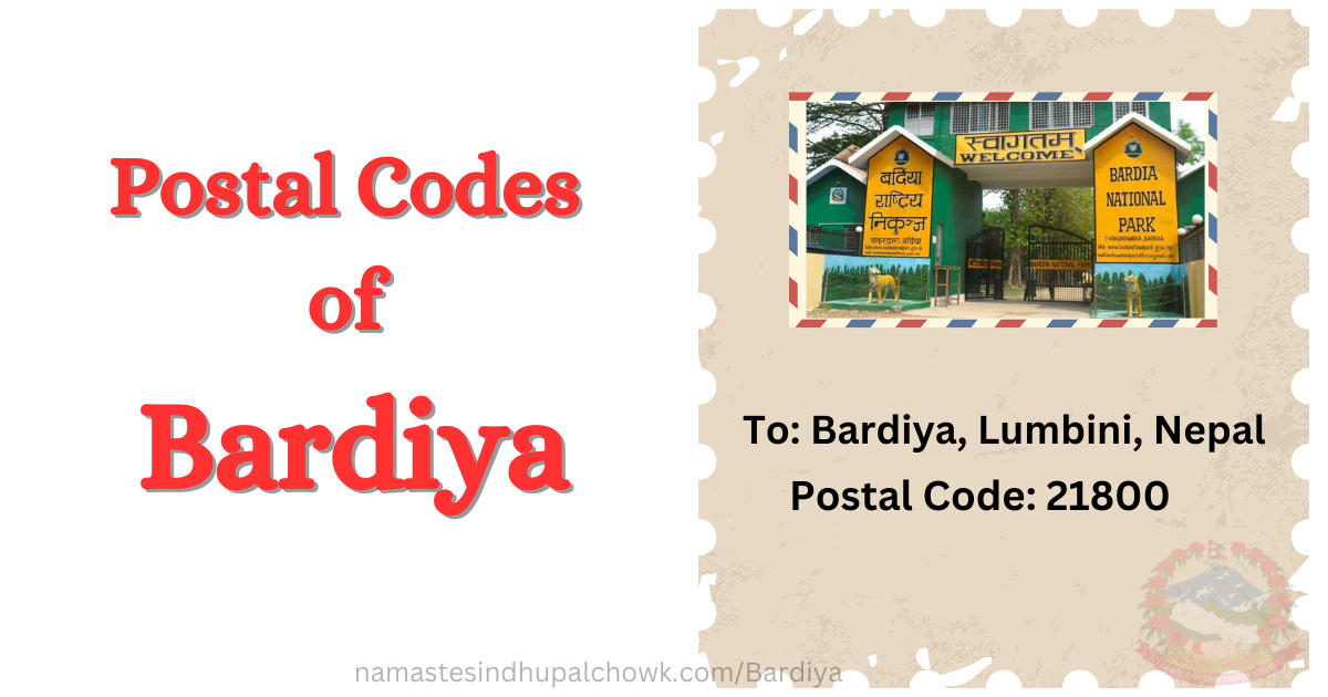
The district headquarter of Bardiya is Gulariya. The Postal Code of Bardiya district is 21800. There are 10 regional postal office in Bardiya.
Temperature
Geographically, Bardiya extends from 27°07' to 28°39' north latitude and 81°3' to 81°41' east longitude. This district has a 2025 km2 total area. Bardia district is divided into two parts based on topography. They are the Plain area ( 68.76%) and the Siwalik region (31.24%).
The east-west average width of the district is 74 km and the north-south average length is 35.71 km.
Bardiya district's yearly temperature is 23.11ºC (73.6ºF) and it is 1.11% higher than Nepal's averages.
Administration
Before the new federal system in Nepal began, Bardia was in the Bheri zone of the Midwestern Development Region. A total of 8 local levels have been formed in Bardiya by adjusting the previous village development committees. Among these are 6 municipalities, 2 rural municipalities, and 75 wards. Bardiya is in the Lumbini Province of Nepal.
Municipality
- Gulariya Municipality
- Rajapur Municipality
- Madhuwan Municipality\
- Thakurbaba Municipality
- Basgadhi Municipality
- Barbardiya Municipality
Rural Municipality
- Geruwa Rural Municipality
- Badhaiyatal Rural Municipality
There are two representative assembly and four provincial assembly constituencies in Bardia. Similarly, two Area Administrative Offices provide administrative services in this district. And, there are 75 wards in the Bardiya.
Population Statistics
According to the National Census 2078, there are 459900 population in Bardiya. This census shows a 47.1% Male & 52.9 % Female population. Due to the development of the new city, the population in Bardia gradually increases. The population density is 227 Persons per sq. km. The annual population growth is 0.72 %.
| Total Population | 459900 |
| Population Density | 227 person per Sq. KM |
| SEX RATIO | 89.15 Male per 100 Female |
| ANNUAL POPULATION GROWTH RATE | 0.72% |
| POPULATION WITH DISABILITY | 3.3% |
| TOTAL HOUSEHOLDS | 106326 |
| AVERAGE HOUSEHOLD SIZE | 4.33 Persons per Household |
| LITERACY RATE | 76.9 % |
| Major Caste/Ethnic-groups | Tharu, Kshetri, Bramhan, Bishwokarma, Magar, |
| Major Religion | Hindu, Boudha, Islam, Kirat, etc.. |
History
There is many story regarding to naming of Bardiya district. There are various folklore, religious and mythological stories behind the name of this district being Bardiya. Some of them are as follows.
- In the Tharu language, a cow breeder is called Wardwa. Bardia district had abundant pastures for cows. It is also said that the Bardiya district was named after being corrupted by Wardwa because of the many cattle rearing and the Bardwa people living there.