Gaurishankar Mountain
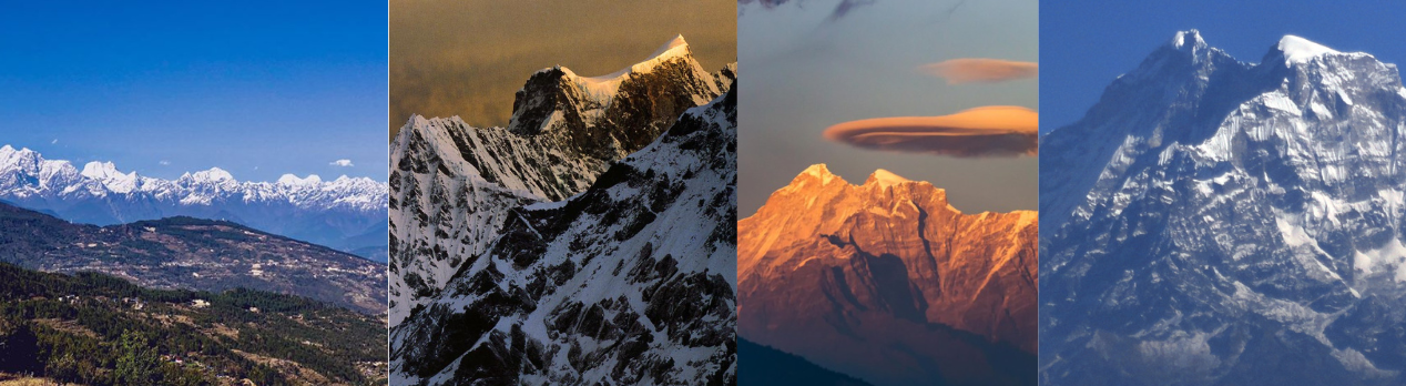
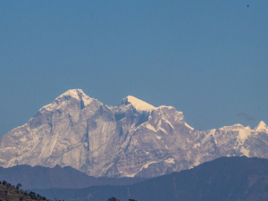
Gaurishankar is a major mountain in Nepal. It is located in Gaurishankar Rural Municipality of Dolakha district. The elevation of this mountain is 7135 m (23406 ft.) from the sea level. It is in the Rolwaling mountain range. Gaurishankar is the second-highest mountain in the Rolwaling mountain range. It is located in the western region of Rolwaling. The standard time of Nepal is determined based on Gaurishankar Himal.
Gaurishankar is directly seen from the Capital Kathmandu. It is probably between Kathmandu & Mt. Everest. It lies at 27º 57' 54" latitude & 86º 20' 16" longitude. The name of this mountain is derived from Hindu goddess Gauri (Parvati) & Shankar (Shiva). It is about 100 kilometres northeast of Kathmandu. In the Sherpa language, It is also known as "Jomo Tseringma." The peak ID is "GAUS". It is open for climbing activities. This peak is very close to Kathmandu, Nepal. This mountain is also known as Pathibhara Himnal.
Climbing History
According to the Nepal Himal Peak Profile, the first ascent was made by John Roskelley & Dorje Sherpa on 8 May 1979 AD. Gaurishankar Himal is still open for climbers. Many adventure lovers go trekking to the base camp of Gaurishankar Himal. Among them, many people climb Gauri Shankar Himal. It is very famous for climbing & trekking in Nepal.

Gaurishankar Himal Base Camp
Gaurishankar Himal base camp is the best trekking destination for Nepal's adventure seekers. From the base camp, we can observe the two peaks. One is Gauri & the other is Shankar Peak. It is one of the adventure trekking routes in Nepal. Rolwing Chu, Tashi Lapsa, Khumbu region is the nearest destination.
Route to Gaurishankar Base Camp
Gaurishankar is the best trekking destination in Nepal. Many people search routes of Gaurishankar-based camp. There are various routes to base camp.
Route: Kathmandu - Charikot - Simigaon - Bedding to Base Camp or, Lamabagar - Lapche - Base Camp
Basic Info
- Name: GAurishankar Himal
- Other Name: Jomo Tseringma
- Peak ID: GAUS
- Status: Opened
- Elevation: 7135 M / 23406 FT
- Latitude: 27º 57' 54"
- Longitude: 86º 20' 16"
- Location: Gaurishankar Rural Municipality, Dolakha, Bagmati, Nepal
- Nearest Health Post: Simigaun (18.2KM)
- Nearest Settlement: Ramding
- Nearest Police: Charikot (55.6KM)